In today’s world of advanced inspection technology, aerial thermal imaging services have quickly become one of the most effective ways to detect heat anomalies, identify issues early, and conduct large-scale inspections with accuracy and speed. Using drones equipped with high-resolution infrared sensors, these services deliver insights that traditional inspections simply cannot match.
Whether you’re evaluating rooftop solar panels, inspecting buildings, monitoring agriculture, or checking electrical assets, aerial thermal imaging services offer unmatched visibility from the sky. This guide explains everything you need to know—how it works, key use cases, industries that benefit, cost factors, and why thermal drones are transforming inspection standards worldwide.
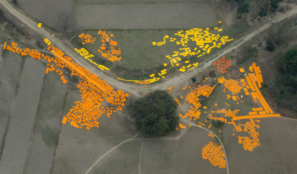
Let’s explore what makes this technology so powerful.
What Are Aerial Thermal Imaging Services?
Aerial thermal imaging services use drones equipped with infrared cameras to capture surface temperature variations from the air. These services help find problems like heat loss, moisture leaks, electrical issues, structural damage, and solar panel inefficiencies by looking at temperature patterns that we can’t see.
These services are commonly used for:
- Solar inspection
- Roofing assessments
- Electrical hotspot detection
- Agriculture crop stress mapping
- Infrastructure monitoring
- Industrial heat audits
With advanced drones and sensors, aerial thermal imaging services provide rapid, safe, and accurate thermographic insights across large areas.
How Aerial Thermal Imaging Services Work
Aerial thermal imaging uses infrared radiation captured through a thermal sensor mounted on professional drones. Every object emits heat, and variations in temperature allow drone cameras to:
- Detect energy leaks
- Identify hidden moisture
- Locate electrical faults
- Analyze temperature gradients
- Confirm system performance
The workflow typically includes:
- Flight Planning: Drone paths are programmed for accurate data capture.
- Aerial Data Collection: Drones fly low or high depending on the inspection type.
- Thermographic Processing: Data is converted into colored heat maps.
- Reporting: Final reports include anomalies, thermal signatures, and recommended actions.
These thermal insights help industries speed up informed decisions.
Why Aerial Thermal Imaging Services Are in High Demand
Industries are turning to aerial thermal imaging services because they provide:
- ✔ Faster Inspections: Scan large areas in minutes.
- ✔ Higher Accuracy: Thermal sensors detect issues invisible to normal cameras.
- ✔ Cost Savings: Preventive maintenance reduces equipment damage costs.
- ✔ Zero Downtime: Inspections happen without interrupting operations.
- ✔ Safety: No need for ladders, scaffolding, or manual rooftop checks.
Aerial thermal data is now a critical tool for solar installers, facility managers, energy consultants, and agricultural operators.
Aerial Thermal Imaging Services for Solar Panels
One of the fastest-growing applications of aerial thermal imaging services is in solar inspections. Thermal drones can detect:
- Hotspots on panels
- Dirt and debris
- Defective cells
- String failures
- Wiring faults
- Shading issues
This is crucial for those who buy solar panels for home or invest in large commercial plants.
Solar operators often combine thermal inspections with:
- Solar Energy Solutions
- Solar Energy Installation audits
- Performance monitoring of a solar power system
- Verifying Solar System Price ROI
- Comparing output from Solar Panel Manufacturers
- Ensuring proper functioning of equipment from Photovoltaic Panels Manufacturers
Aerial thermal imaging enhances the lifespan and efficiency of the Best Solar Panels for Home, helping homeowners and businesses track performance and detect issues early.
If you’re comparing panel quality or checking Solar Panel for Home Price India, thermal drone inspections offer valuable insights before and after installation.
Roofing & Building Inspections
Roofing companies and facility managers use aerial thermal imaging to detect:
- Water intrusion
- Insulation gaps
- Air leaks
- Roofing membrane issues
- Structural weaknesses
Traditional inspections require climbing, manual tools, and guesswork. Thermal drones reveal everything instantly and safely.
Electrical System Monitoring
Infrared drones help identify electrical hotspots that could lead to failures or fire risks.
Thermal imaging detects:
- Overheated transformers
- Damaged circuit connections
- Faulty breakers
- Loose terminal joints
- High-resistance faults
This is particularly important for manufacturing units where electrical downtime is costly.
Agriculture & Crop Health Monitoring
Farmers and agronomists benefit immensely from aerial thermal imaging services.
Thermal drones can:
- Identify crop stress
- Detect irrigation issues
- Spot nutrient deficiencies
- Locate pest-affected zones
- Monitor soil moisture
Thermal mapping helps farmers optimize yield and reduce wastage across large fields.
Construction & Infrastructure Inspections
Construction companies, engineers, and government agencies use thermal drones to inspect:
- Bridges
- Roads
- Dams
- Towers
- Pipelines
- Skyscraper exteriors
They supply information about structural integrity and detect temperature-related issues.
Industrial Plant & Factory Surveys
Industries use aerial thermal imaging to monitor:
- Boilers
- Furnaces
- Heat exchangers
- Conveyor belts
- Warehouse roofs
Thermal drones help spot abnormalities before they turn into expensive breakdowns.
Key Industries That Use Aerial Thermal Imaging Services
- ✔ Solar energy
- ✔ Power & utilities
- ✔ Manufacturing
- ✔ Construction
- ✔ Agriculture
- ✔ Real estate
- ✔ Mining
- ✔ Oil & gas
- ✔ Drone Aerial Photography firms
- ✔ Government agencies
It’s now an essential service across the modern industrial world.
Cost of Aerial Thermal Imaging Services (2025 Overview)
Pricing depends on:
- Location
- Inspection size
- Drone type
- Sensor quality
- Industry type
- Reporting detail
Average pricing range:
- Small residential inspections: $150–$500
- Commercial buildings: $500 – $2,000
- Solar farms / Industrial audits: $1,000 – $10,000+
Thermal inspections are far more cost-effective than traditional manual methods.
(*Note: All costs mentioned above are estimates and can change with time.)
How to Choose the Best Aerial Thermal Imaging Service Provider
Here’s what to look for:
- Certified Drone Pilots: Ensure regulatory compliance.
- High-Resolution Thermal Sensors: Higher accuracy improves data reliability.
- Industry Experience: Experience in solar, electrical, or building inspections matters.
- Detailed Reporting: Color maps, 3D modeling, anomalies list, and repair recommendations.
- Insurance & Safety Standards: Essential for safe industrial inspections.
- Pricing Transparency: Choose providers who explain costs clearly.
People Also Ask (PAAs)
- What are aerial thermal imaging services used for?
They detect heat anomalies for solar, electrical, agricultural, and building inspections. - How do thermal drone inspections work?
Drones capture infrared images to identify temperature variations. - Can thermal imaging detect roof leaks?
Yes, it shows moisture and hot/cold spots. - Are thermal drones accurate?
Modern sensors provide highly precise temperature data. - Does solar inspection require aerial thermal imaging?
Yes, it identifies defective cells and hotspots. - Is aerial thermal imaging safe?
Drone inspections eliminate the need for manual rooftop access. - How much does aerial thermal imaging cost?
The cost of aerial thermal imaging typically ranges from $150 to $10,000, depending on the specific nature of the job. - Can thermal drones detect electrical faults?
Yes, they locate hotspots and overheating components. - Does agriculture benefit from thermal imaging?
Absolutely—crop health and irrigation patterns become clearer. - Are thermal inspections used in construction?
Yes, thermal imaging can detect roof leaks, and it is also used for quality monitoring and structural integrity checks.
Conclusion
Aerial thermal imaging services are rapidly transforming how industries inspect, monitor, and maintain their assets. With unmatched accuracy, safety, and efficiency, thermal drones offer vital information regarding everything, from solar panel inspections and electrical system checks to agricultural monitoring and industrial plant audits.
Whether you’re evaluating the performance of a solar power system, comparing Solar System Price, working with a supplier solar panel, or planning long-term Solar Energy Solutions, thermal imaging offers the clarity you need to make smart decisions.
(*Note: All costs mentioned above are estimates and can change with time.)