In today’s fast-paced world, drone 3D mapping has revolutionized how we capture, measure, and visualize our surroundings. From construction and mining to agriculture and urban planning, drones now offer an accurate, efficient, and safer way to create detailed 3D models of landscapes, buildings, and assets.
If you’re wondering how drone 3D mapping works, what equipment it uses, and how it can help your business, this guide will walk you through everything you need to know.
What is Drone 3D Mapping?
Drone 3D mapping is the process of using unmanned aerial vehicles (UAVs) equipped with cameras or LiDAR sensors to capture detailed images or laser measurements of a specific area. This data is then processed using specialized software to create an accurate 3D model or digital twin of the location.
Unlike traditional surveying, which can take days or weeks, drones can capture the same data in hours—and often at a fraction of the cost.
📍 Are you in search of trustworthy professionals? Check out top-rated solar panel contractors.
How Drone 3D Mapping Works
The process typically involves four key stages:
1. Data Acquisition
The drone flies over the target area, capturing a series of overlapping images or laser scans from different angles. The overlap ensures that software can stitch the data together into a 3D model.
- Photogrammetry: Uses high-resolution cameras to take hundreds or thousands of images.
- LiDAR (Light Detection and Ranging): Uses laser pulses to measure distances and create a dense point cloud.
2. Processing the Data
Once the flight is complete, the images or LiDAR scans are imported into mapping software such as Pix4D, DroneDeploy, or Agisoft Metashape. The software aligns the images using GPS coordinates and reconstructs the scene in 3D.
3. Creating the 3D Model
The processed data is converted into outputs like
- 3D mesh models
- Orthomosaic maps (highly detailed 2D images)
- Digital Elevation Models (DEM)
- Contour maps
4. Analysis & Application
The 3D models can then be used for measurement, planning, monitoring, and decision-making in industries like construction, agriculture, and urban development.
📌 Explore our guide to top drone service providers in Chandigarh for more insights.
Photogrammetry vs. LiDAR—which is better for 3D mapping?
Both methods have their strengths, and the choice depends on your needs:
Photogrammetry:
Lower cost, great for visual detail
Ideal for real estate, construction progress, and agriculture
Requires good lighting and clear weather
LiDAR:
Works in low-light or dense vegetation
More accurate for elevation data
Preferred for forestry, mining, and infrastructure inspections
Benefits of Drone 3D Mapping
- Faster Project Turnaround—Drones can map several square kilometers in a single flight.
- Cost efficiency: Reduces manpower and equipment needs compared to traditional surveys.
- High Accuracy – Modern drones with RTK/PPK GPS offer centimeter-level precision.
- Safety—Ideal for hazardous or hard-to-reach locations.
- Versatility—Works for construction, agriculture, mining, real estate, and more.
Applications of Drone 3D Mapping
1. Construction
- Site planning and earthwork volume calculations
- As-built documentation and progress monitoring
- Safety inspections
2. Mining
- Stockpile volume measurement
- Pit mapping and terrain analysis
- Environmental monitoring
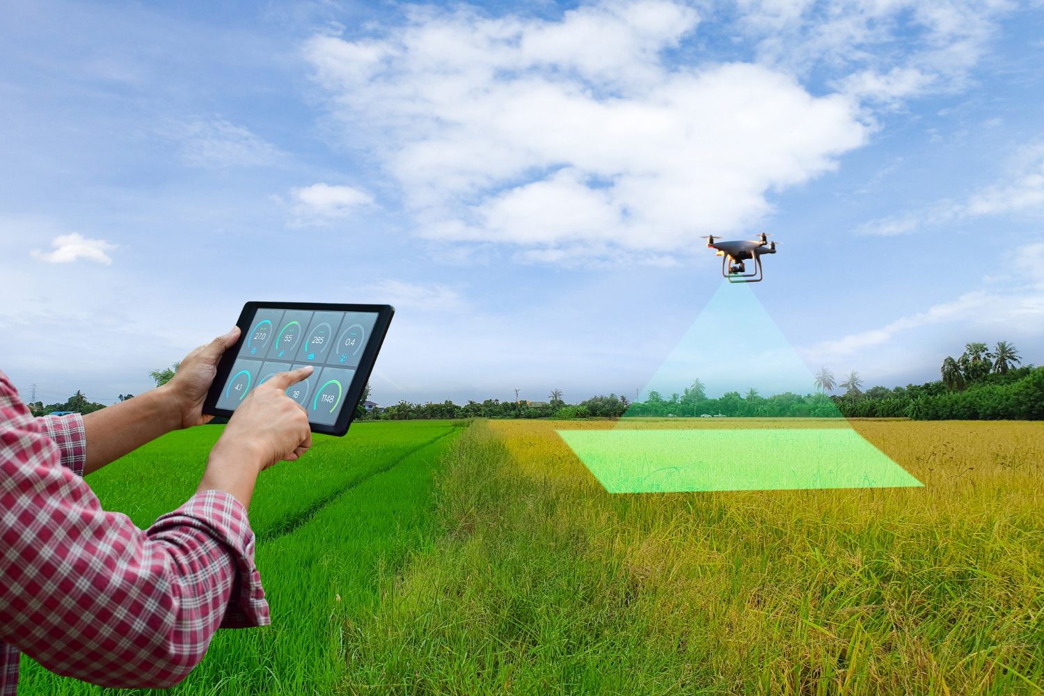
3. Agriculture
- Crop health analysis
- Irrigation planning
- Land preparation assessment
4. Urban Planning
- 3D city modeling
- Road and infrastructure design
- Monitoring urban sprawl
5. Infrastructure Inspection
- Bridge, tower, and solar farm inspections
- Detecting damage or defects using thermal imaging
Interlink: Learn more about drone and image services for detailed aerial data solutions.
How to Choose the Right Drone 3D Mapping Service Provider
When selecting a provider, consider:
- Experience & Portfolio—Have they worked in your industry before?
- Equipment Quality—Do they use RTK/PPK drones or LiDAR systems?
- Data Processing expertise—can they deliver ready-to-use 3D models?
- Regulatory compliance—are they DGCA-certified in India?
- Post-Processing Support—Do they help interpret the results?
Cost of Drone 3D Mapping
The cost depends on:
- Project size (in acres or sq km)
- Data type (photogrammetry vs LiDAR)
- Resolution required
- Post-processing complexity
For example:
- Small property mapping: ₹10,000 – ₹25,000
- Large construction site: ₹50,000+
- Specialized LiDAR surveys: ₹1 lakh and above
FAQs
Q1: How accurate is drone 3D mapping?
A1: With RTK/PPK systems, accuracy can be within 2–5 cm.
Q2: Can drone mapping work in bad weather?
A2: Photogrammetry needs clear weather, but LiDAR can work in low-light or overcast conditions.
Q3: Do I own the data from my mapping project?
A3: Yes, reputable providers will transfer all rights to you after project completion.
Q4: How long does a mapping project take?
A4: Fieldwork may take a few hours, while processing can take 1–3 days depending on complexity.
Q5: Can mapping drones be used for heritage conservation?
A5: Yes, they’re used to document and preserve historical sites in 3D.
Q6: Is 3D mapping expensive?
A6: Costs vary but are often much lower than traditional survey methods.
Q7: Do mapping drones require special sensors?
A7: Yes, either high-resolution cameras or LiDAR sensors are essential.
Q8: Can I integrate drone mapping data with CAD software?
A8: Yes, most outputs are compatible with CAD and GIS software.
Q9: Are drone mapping services available in Chandigarh?
A9: Yes, many local providers offer advanced mapping services.
Q10: Is drone mapping safe for the environment?
A10: Yes, it’s non-invasive and eco-friendly compared to ground surveys.
📍 Are you in search of trustworthy professionals? Check out top-rated solar panel contractors.
Final Thoughts
Drone 3D mapping is no longer just a high-tech option—it’s becoming an industry standard for businesses that value precision, efficiency, and safety. Whether you’re building infrastructure, managing agricultural land, or planning urban layouts, drone mapping can give you an edge with accurate, actionable data.
By partnering with the right service provider and understanding the technology, you can leverage 3D mapping to make smarter decisions and improve project outcomes.