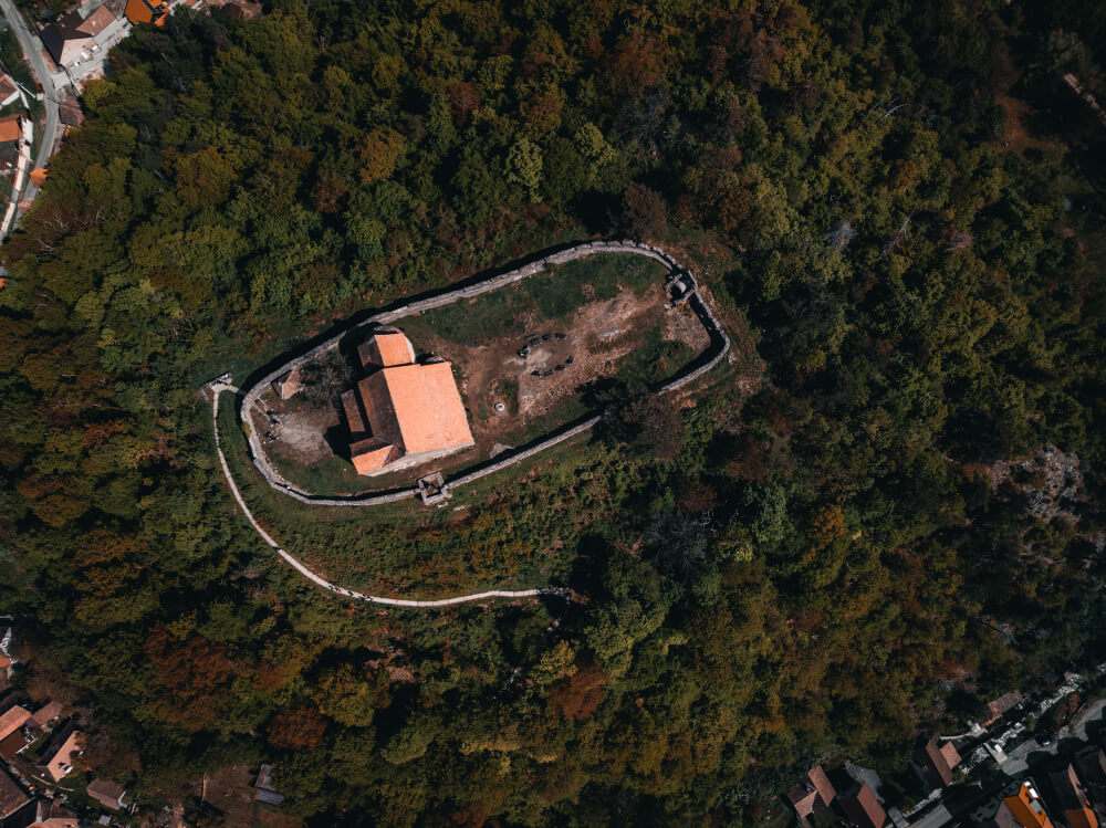
by September 27, 2025 Blog Aerial Photogrammetry: A Complete Guide to How It Works and Why It Matters Ever wondered how surveyors create precise 3D maps of cities, landscapes, or construction sites—without setting foot on the ground? The answer lies in aerial...