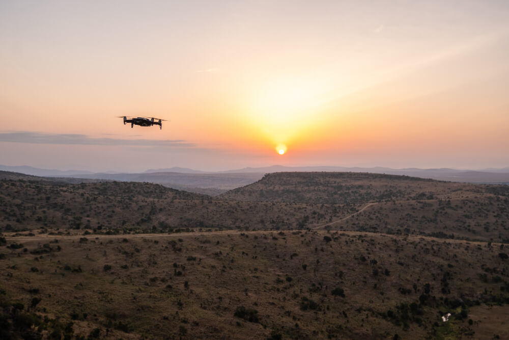
Drone Aerial Photography: The Ultimate Guide Drone aerial photography is the process of capturing high-resolution images or videos from above using unmanned aerial vehicles...
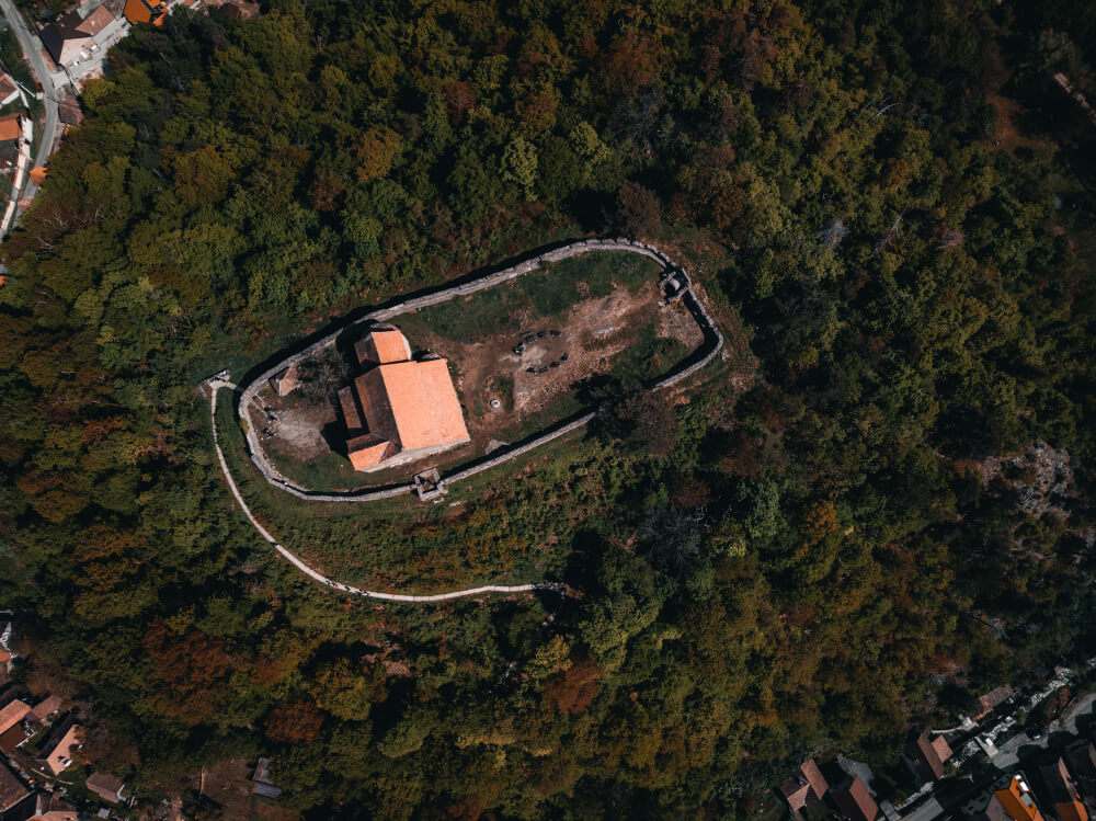
Ever wondered how surveyors create precise 3D maps of cities, landscapes, or construction sites—without setting foot on the ground? The answer lies in aerial...
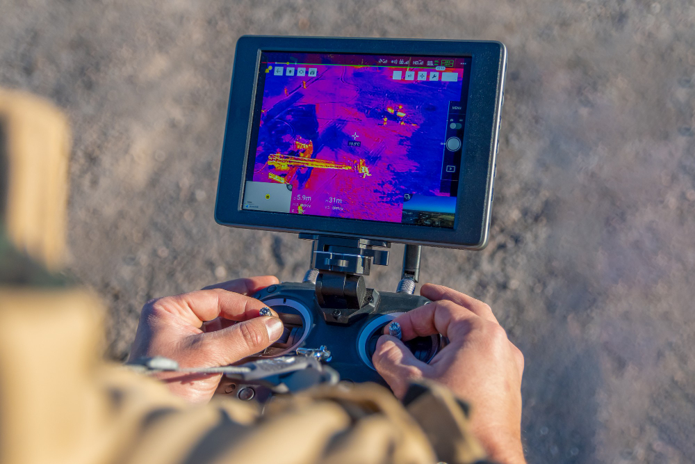
Drone thermal imaging is revolutionizing industries by providing real-time infrared data that the human eye simply cannot detect. Whether it’s search and rescue missions,...
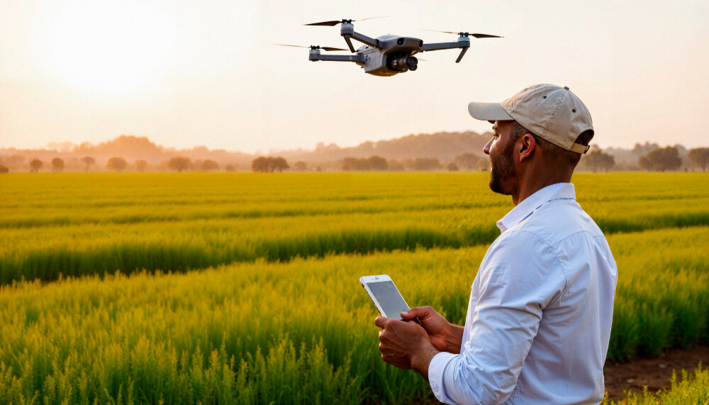
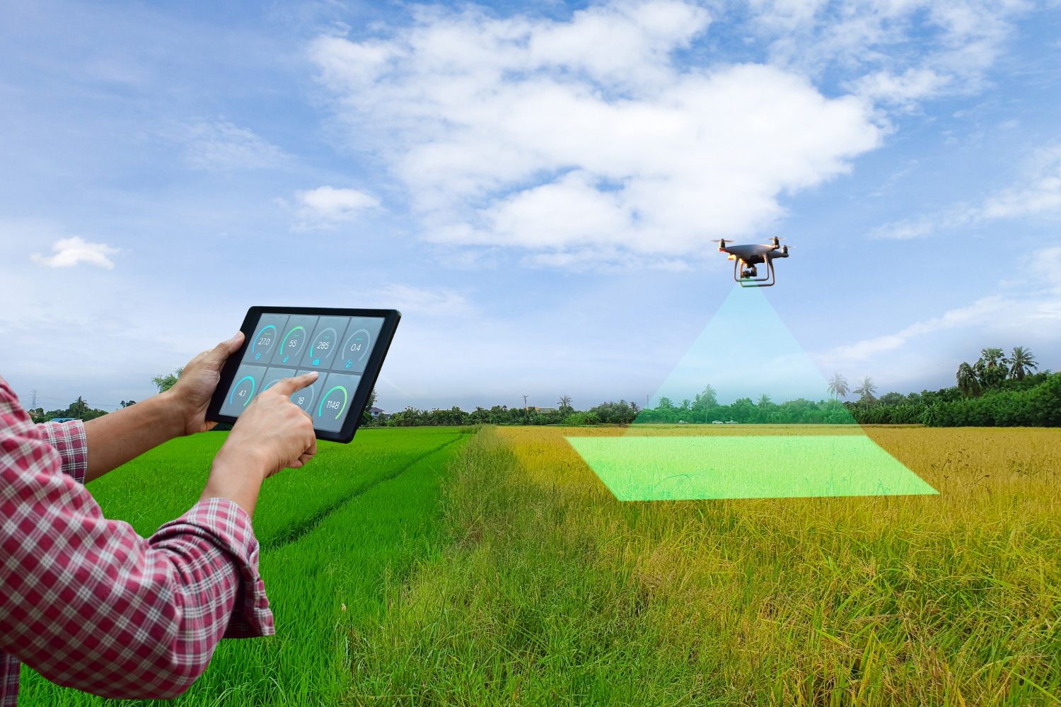
In today’s fast-paced world, drone 3D mapping has revolutionized how we capture, measure, and visualize our surroundings. From construction and mining to agriculture and...
If you’ve ever seen breathtaking aerial shots in real estate listings, precise mapping data for infrastructure projects, or thermal scans of solar farms, there’s...